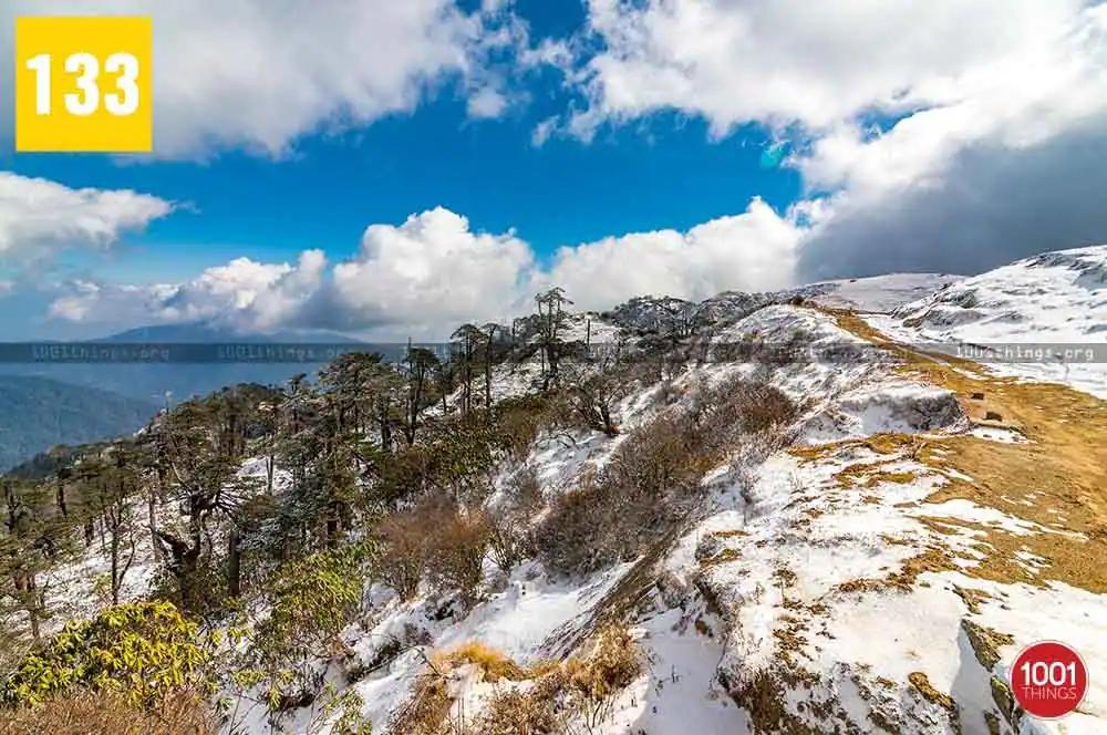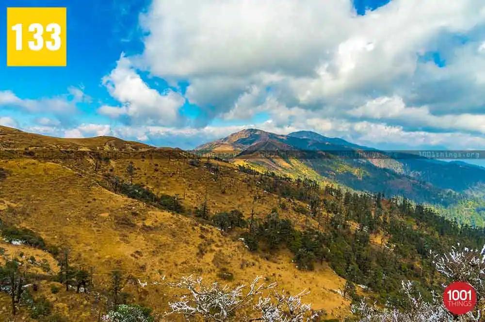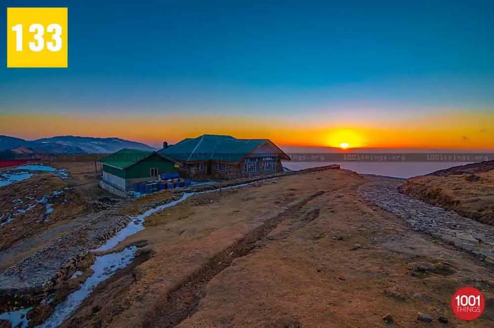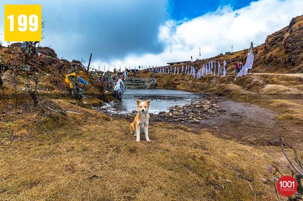
The Lepcha word Fak-Luk, which means “Barren Peak,” gave rise to the word Phalut. It is the second highest peak in the state of West Bengal, India after Sandakphu. It is located at an elevation of 3,595 m or 11,811 ft. Phalut is located on the international border between India and Nepal, it is also a border between the two India states of West Bengal and Sikkim.You can reach Phalut either by trekking or by vehicle.
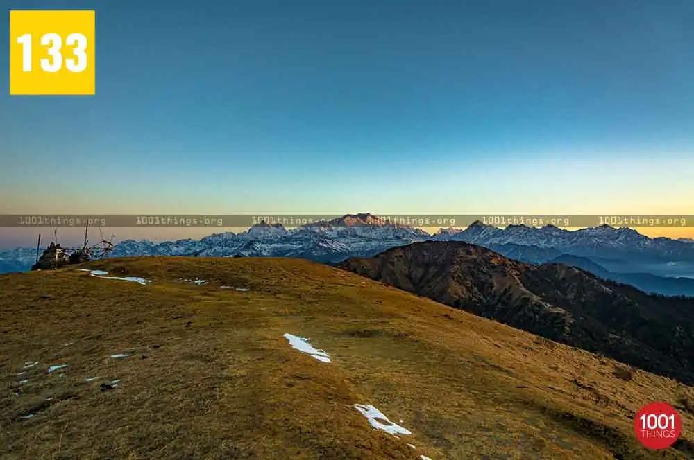
The best part of the trek route is between Sandakphu and Phalut.
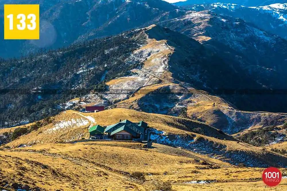
It is about 21 Kms from Sandakphu and 53 Kms from Maneybhanjyang, the base from where the Singalila trek begins. It takes about four days for a trekker to reach Phalut. The trekking route is very beautiful, passing through some dense forests and beautiful little villages like Meghma, Tonglu, and Kala-pokhari. There are some trekker huts in some of these villages to stay for a night.
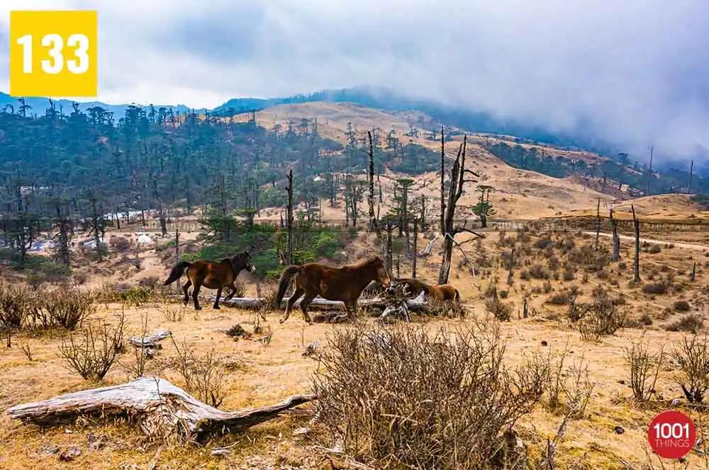
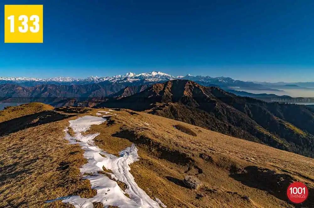
The route between Sandakphu and Phalut is very picturesque. It is one of the most beautiful stretches to trek between the beautiful forest of various species of rhododendrons, oaks, chestnut trees, magnolias and silver first.You can get the best panoramic view of the mighty Himalayan range from this route. The Mount Everest range is seen on the left side and Kanchenjunga range on right.